
The story
The pupil who walked
On 11 June 1800, Inō Tadataka set out on foot from his home in Edo to measure a piece of the Earth. He was 55.
His official destination was Ezo, the northern island now called Hokkaido. Russian ships had been appearing in the north, and the shogunate wanted the coasts mapped. That was the stated purpose. Inō and his teacher had a larger one. They wanted to measure one degree of the meridian, the north–south distance that matches one degree of latitude. Multiply it by 360 and you have the size of the whole planet.
So he went by land. A ship would have been quicker, but nobody can pace a distance from a deck. On that first survey he covered about forty kilometers a day, counting his steps. By one reckoning his stride held at about 69 centimeters, day after day, over sand, rock and slope. A man in his fifties had trained his own legs into an instrument.
He had come a long way to get there. Born in 1745 in a village on the Kujūkuri coast, he was adopted at 17 into the Inō family, merchants of Sawara, east of Edo. He ran their sake, soy sauce and lending businesses, and ran them well. As a village leader he organized relief when famine came in the 1780s. By any ordinary measure he had already lived a full and successful life.
In 1794 he handed the business to his eldest son. The next year, at 50, he moved to Edo to become a student.
His teacher was the astronomer Takahashi Yoshitoki, then 31, nineteen years younger than his new pupil. The prosperous former headman sat at the younger man's feet and learned. Observatories defer easily to competence and hardly at all to rank. The hard part, at fifty, is agreeing to be the least experienced person in the room after decades of being the most.
The north he walked was not empty land. It was home to the Ainu, and the surveys were part of the shogunate's reach into their country. The map was beautiful work, and it was also a claim.
Takahashi had designed the method himself. The results still surprised him.
“I gave the instructions for measuring it this way, but I never thought he could carry it out so exactly.”
After his second survey, Inō had his figure: one degree of the meridian came to 28.2 ri. Years of study, months of walking and millions of paces, all reduced to a single number.
Then he kept walking. Takahashi died in 1804, at about 40, and the old pupil went on without him. Over seventeen years and ten expeditions, Inō and his teams surveyed the coasts of Japan, one paced stretch after another.
He died on 17 May 1818, at 73, with the great map unfinished. His pupils completed it, and in 1821 they presented the Dai Nihon Enkai Yochi Zenzu, the maps of the coasts of Great Japan.
He had spent half a century as a brewer, merchant and headman, and only about eighteen years as a surveyor. Japan remembers the second life. The first one paid for the walking.
The Observatory pattern in his life
- Defers to competence, not rank
- At 50 he became the pupil of an astronomer nineteen years younger than himself.
- Turns a question into a system
- To measure the Earth he trained his stride and paced the coast, about forty kilometers a day.
- Plans past his own lifetime
- He died with the map unfinished, and the pupils he had trained completed it in 1821.
The Observatory: You build the whole model before you speak, then defend it like it cost you something. It did.
Are you an Observatory too?
Free, no email needed. Find out which house is yours.
Take the free test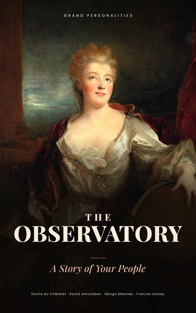
The book
The Observatory: A Story of Your People
His story and fourteen more, from an execution ground in Edo to a hut on the Antarctic ice, grouped by the situations every Observatory runs into: work, love, friendship, money, the body, purpose and power.
More famous Observatories
Questions people ask
What personality type was Inō Tadataka?
His life fits the Observatory, one of the houses at Grand Personalities: someone who builds the whole model before speaking, then defends it like it cost him something. It did. Closest four-letter code: INTJ.
How did Inō Tadataka make his map of Japan?
He walked the coasts, measuring distance by counting his paces and fixing positions with astronomical observations. Over seventeen years and ten expeditions, he and his teams surveyed the coasts of Japan, and his pupils completed the map in 1821.
Why did Inō Tadataka start surveying so late in life?
After decades running his adopted family's businesses, he retired in 1794 and moved to Edo in 1795 to study astronomy under Takahashi Yoshitoki. He wanted to measure one degree of the meridian, and with it the size of the Earth.
Shown: the Observatory house art.